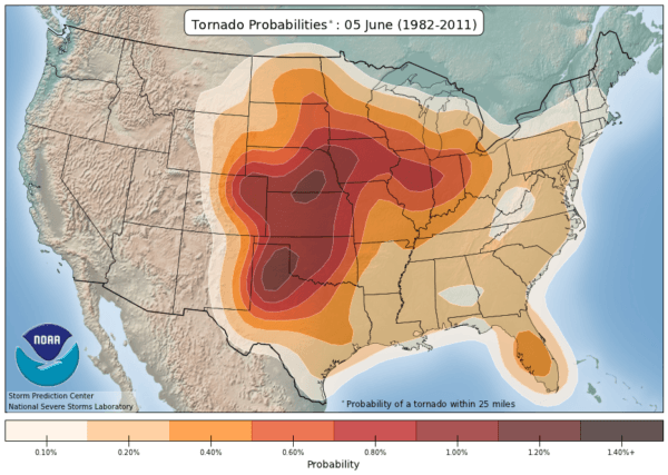
Tornado Alley offers some of the world’s most spectacular thunderstorms, from the Texas Panhandle and Southern Plains to the wide-open High Plains of the Dakotas. Our storm chasing tours follow the best severe weather opportunities rather than a fixed route. Each tour combines expert forecasting, experienced storm chasers, and the chance to experience the atmosphere up close in some of America’s most remarkable landscapes.
Panhandle Insanity Tour
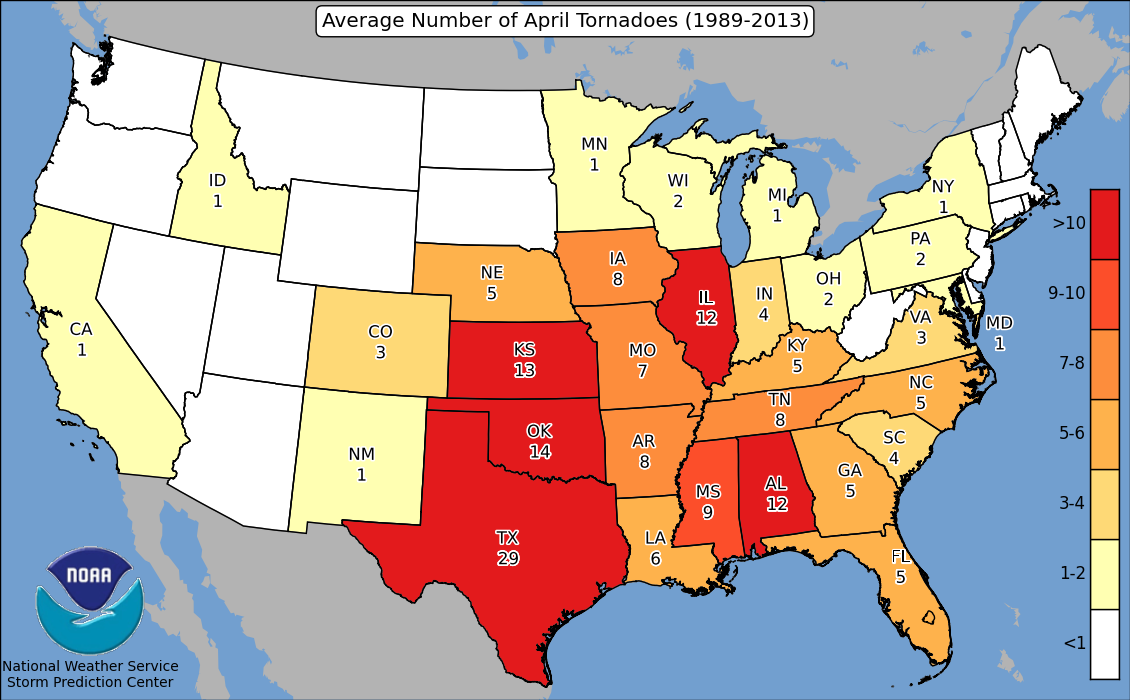
The Panhandle Insanity Tour kicks off our spring storm chasing season, when supercells can develop across the Texas and Oklahoma Panhandles. Our goal is to find excellent viewing positions while maintaining safe distances, dependable roads, and multiple escape options. Storm structure and visibility matter just as much as proximity.
Early-season storms frequently develop near the dryline across the Southern High Plains. The Texas Panhandle is particularly attractive to storm chasers because its open terrain and extensive network of paved farm-to-market roads can provide excellent visibility and flexibility. Road conditions still vary, so every intercept requires careful planning.
This tour starts and ends in Oklahoma City. Each morning begins with a weather briefing and an assessment of potential chase targets. While Texas and Oklahoma are common destinations, the weather may take us into New Mexico, Kansas, Colorado, or Nebraska. Long drives are possible when the best storms develop farther away.
If you enjoy dramatic supercell structure, big skies, and the excitement of early spring severe weather, this is an unforgettable way to experience Tornado Alley.
May Mayhem Tour
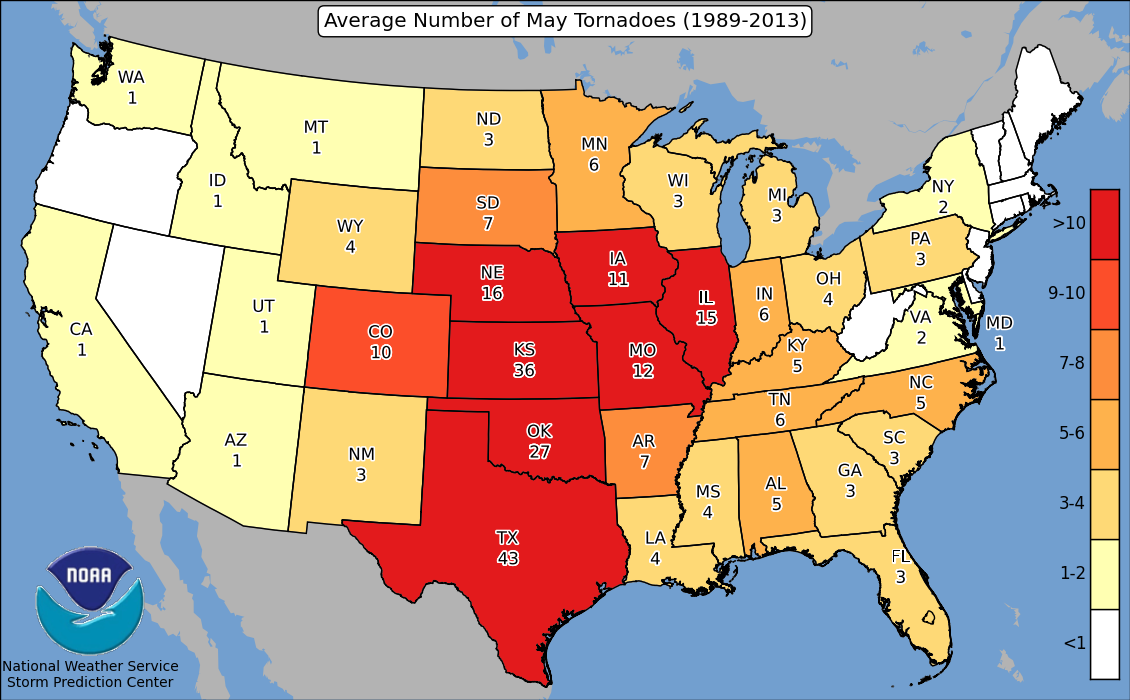
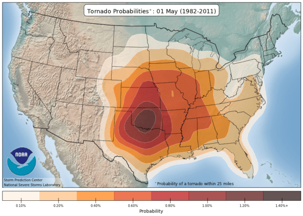
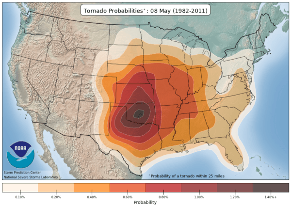
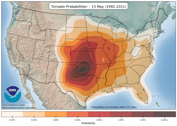
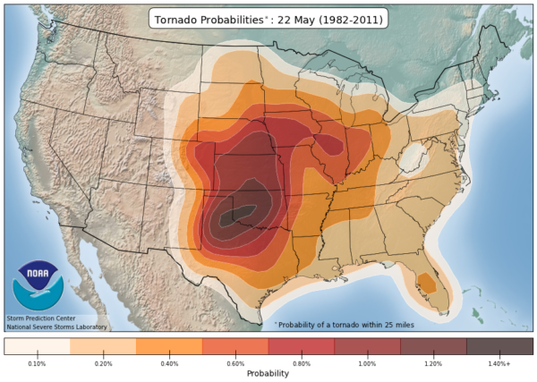
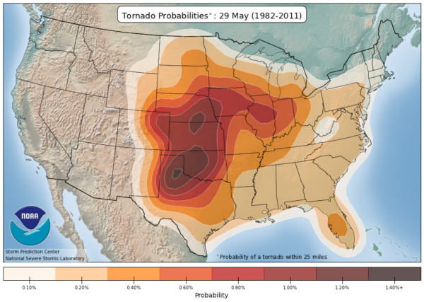
May is a prime month for tornado-producing supercells across the Southern and Central Plains. Passing upper-level systems, increasing instability, and moisture returning northward from the Gulf can create repeated opportunities for severe thunderstorms. The May Mayhem Tour is built around this active period, when our daily target can shift from Texas to Oklahoma, Kansas, or beyond.
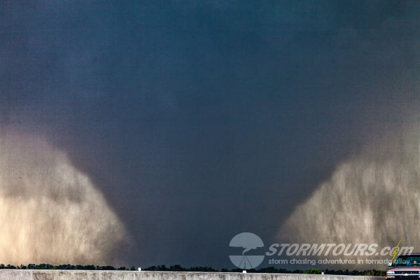
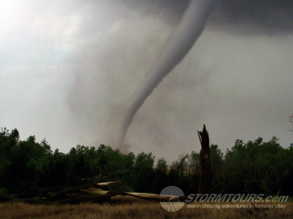
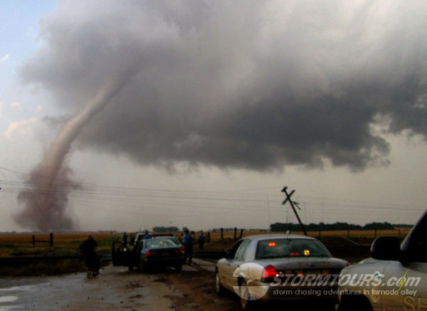
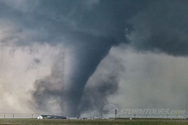
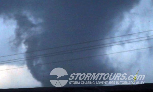
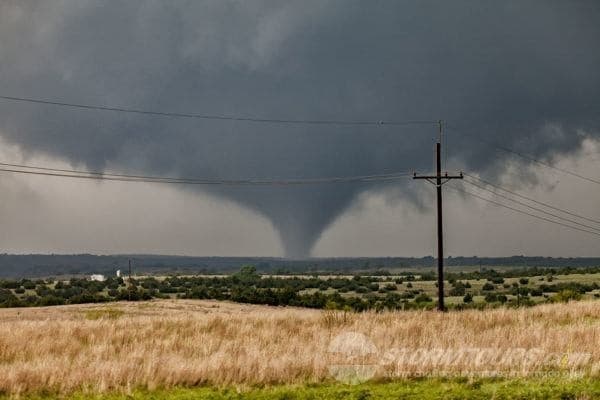
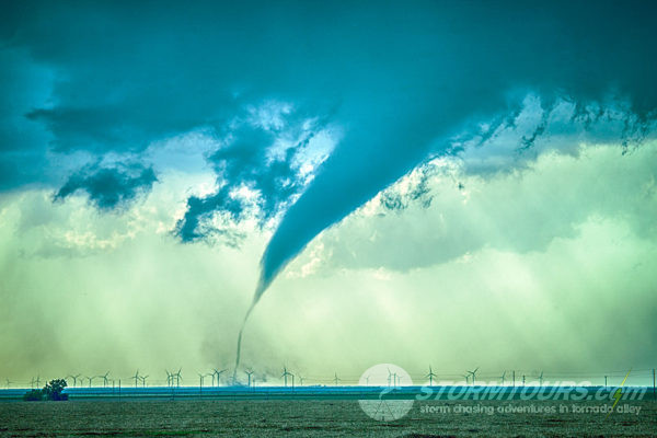
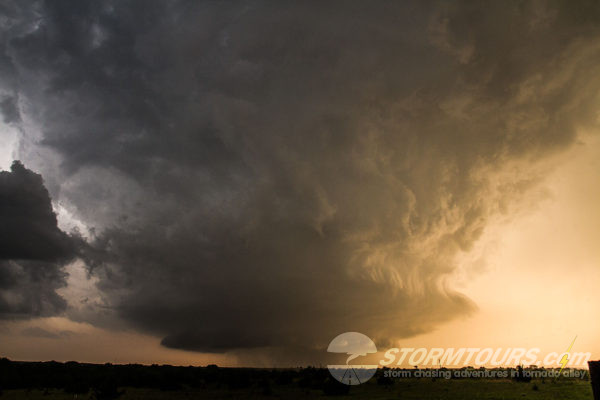
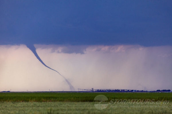
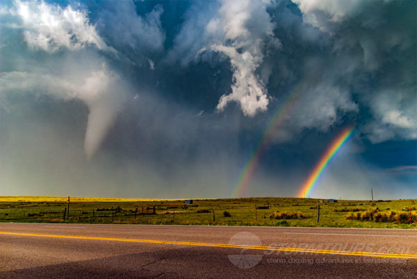
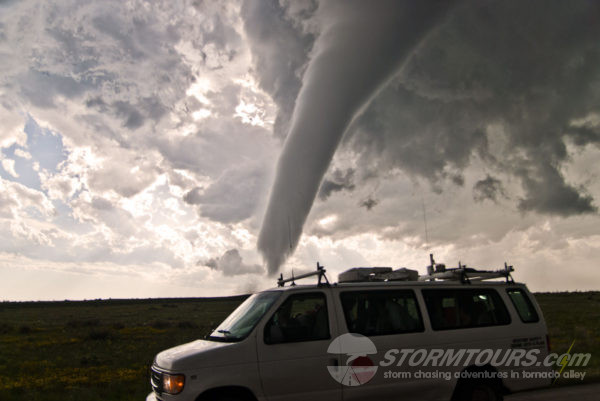
Our tours have experienced remarkable tornado days, including seasons with numerous supercells in a single week. Storms can range from sculpted low-precipitation (LP) supercells to powerful high-precipitation (HP) storms. Each morning we evaluate the setup and travel toward the best opportunity. More days in the field provide more chances to encounter memorable weather, but every season is different.
Peak Season
Ultimate Tornado Hunt
The Peak Season Ultimate Tornado Hunt takes place during one of the climatologically most active periods for tornadoes on the Great Plains. Strong spring weather systems, deep Gulf moisture, and favorable wind shear can combine to produce organized supercells. We follow the forecast rather than a fixed itinerary, often working across Oklahoma, Kansas, Texas, Nebraska, and nearby states.
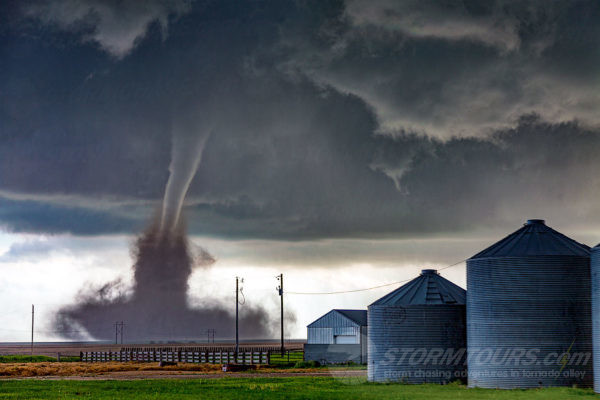
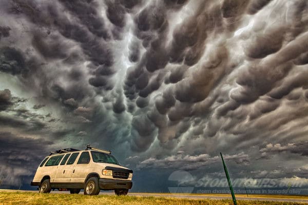
Designed for guests who want more time in the field, this extended tour gives us flexibility to follow successive weather systems and reposition between chase days. We may observe low-precipitation (LP) or high-precipitation (HP) supercells, towering storm structure, lightning, hail, and occasionally tornadoes. No particular event is guaranteed; our objective is to make the most of each day’s conditions.
This extended tour also offers an educational master-class experience. Topics include mesoscale severe weather forecasting, Skew-T diagrams, atmospheric instability, radar interpretation, and storm interception strategies. When the weather permits, we cover these subjects during morning discussions before heading into the field for an afternoon and evening chase.
Flying Cow Tour
Late May often brings significant severe weather opportunities across the Great Plains. As spring transitions toward summer, strong upper-level systems can interact with warm, moist air moving north from the Gulf. The result can be everything from towering supercells to widespread thunderstorm complexes—and occasionally tornadoes.
The Flying Cow Tour typically focuses on the Southern and Central Plains, including the Texas Panhandle, Oklahoma, and Kansas, although our actual route depends on the daily forecast. The dryline, where dry air meets Gulf moisture, is one of the boundaries we monitor closely when looking for potential supercell development.
Cold fronts can sometimes push rich low-level moisture southward, temporarily reducing severe weather potential. When that happens, we adjust our plans, study the next system, and look for opportunities elsewhere. The reward for staying flexible is a better chance to photograph and experience the storms that make this time of year so exciting.
Dryline Magic Tour
Tour offerings vary by season. See our current tour schedule for availability.
A dryline separates relatively dry air from warm, moist air. It is especially prominent during spring across the Southern Plains, including the Texas Panhandle, western Oklahoma, and Kansas. This sharp moisture contrast can become an important focus for thunderstorm development and offers fascinating opportunities for storm observation.
The dryline often moves eastward during the afternoon as daytime heating mixes drier air toward the surface, then retreats westward overnight. When lift, instability, and wind shear come together, severe thunderstorms may develop along or near the boundary. On active days, forecasters can find multiple possible chase targets along its length.
This tour starts and ends in Oklahoma City. Each morning begins with a weather briefing and an assessment of potential chase targets. While Texas and Oklahoma are common destinations, the weather may take us into New Mexico, Kansas, Colorado, or Nebraska. Long drives are possible when the best storms develop farther away.
Upslope Photography Tour
Tour offerings vary by season. See our current tour schedule for availability.
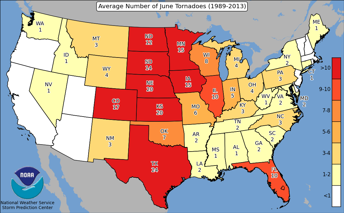
As spring gives way to summer, severe weather opportunities often shift toward the High Plains. Moist upslope flow, steep terrain, and favorable wind profiles can produce exceptionally photogenic thunderstorms. The higher terrain frequently offers expansive views, dramatic storm structure, and striking light that makes this region especially appealing to photographers.
Colorado’s Front Range and adjacent High Plains feature several areas known for helping focus thunderstorm development, including the Raton Mesa, Palmer Divide, and Cheyenne Ridge. Local terrain-driven wind patterns can enhance convergence and lift, occasionally supporting rotating supercells and tornadoes.
One important regional feature is the Denver Convergence Vorticity Zone (DCVZ), where interacting winds can concentrate low-level rotation and convergence east of the Front Range. When the larger-scale atmosphere is supportive, these boundaries may contribute to striking supercells against a spectacular mountain and prairie backdrop.
Our team has spent decades observing storms across the High Plains, including many memorable tornadoes and beautifully structured supercells. The Upslope Photography Tour is designed around these photographic opportunities, with Denver serving as the departure and return city when the tour is offered.