
Weather forecasting is a large subject that is far too deep to dive into and explain in any single article. Forecasters spend years learning how to best forecast and are constantly learning and adapting as science and technology changes. The scope of this article is to provide our customers with some basic tornado forecasting knowledge.
The purpose of this article is not to turn you into a forecaster. It is to provide the reader with information about where forecasting data comes from and how we use that data. Understanding this can make your storm chasing experience more enjoyable.
First, there is a difference between a “forecast” and a “nowcast“.
Forecasting is the art and science of predicting what will happen by using numerical datasets and interpreting that data. Nowcasting is looking at near real-time observations via remote sensing tools such as radar, satellite and weather stations.
If someone said, “In Wichita, the dew point is 64 degrees with southerly winds,” that would be a nowcast. The statement is explaining the conditions right now. If they said, “In 5 hours, the dewpoint should increase as a dryline moves in,” that would be a forecast. The latter is a predication statement while the former is a statement of current conditions.
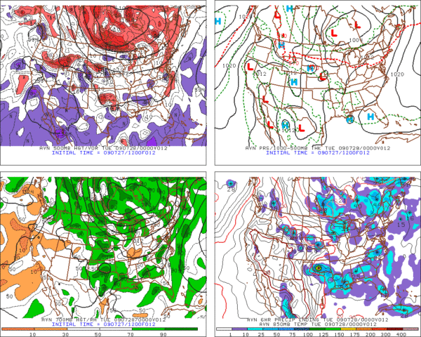
Weather Data for Forecasting
In order to create a forecast, the forecaster needs data. Such data may include observations of temperature, dew point temps, atmospheric pressure, wind speeds, and direction. Some storm chasers create a forecast with just surface data. But, most forecasters require data from all levels of the troposphere. The troposphere is the part of the atmosphere where all weather exists.
On the next page, we’ll discuss how forecasters obtain weather measurements.