
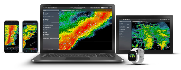
RadarScope is an app for your phone that brings live NWS radar to the palm of your hands. Most radar apps process the data on a server before pushing a jpeg or gif image to their app. RadarScope uses raw data processed on your phone. This means you see the data almost as fast as NWS forecasters see the data.
RadarScope has a full selection of radar products available such as Reflectivity, Velocity, VIL and there are even dual-pol products. If you don’t know how to use these products, don’t worry, during the course of your storm chasing tour, you will learn.
The technology that powers this app started out over 20 years ago in Oklahoma. Weather Decision Technologies (WDT) worked with the Oklahoma Climatological Survey to develop a product called OK-FIRST for Oklahoma’s Emergency Management community. They also developed a commercial product called On-Alert.
WDT is now the parent company of RadarScope. RadarScope is one of the most innovative radar apps available and it’ll make your tour with us much more enjoyable. So please, have it loaded on your phone and be ready to learn.
And here is a fun fact, the supercell thunderstorm on the RadarScope logo is the May 3rd, 1999 Bridge Creek – Moore supercell thunderstorm. That is a significant day in our company’s history. It was the first time Brian took passengers along on a storm chasing adventure and provided the foundation for our storm chasing tours. We have included a detailed account of that day’s chase on our May 3rd, 1999 storm chasing log.
Download at the app store or visit the RadarScope website.