Today was unseasonably warm with temperatures climbing into the high 90s and low 100s. Dewpoints were in the upper-60s and low 70s across the target area of Stephens County, TX.
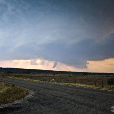
Due to the large temp/dewpoint spread indicated to more of a hail threat rather than a tornado threat. But, nature makes her own rules and a tornado she provided.
We started the day in the Dallas metro and worked our way west towards the target area where the dryline was bulging.
By late afternoon, our first supercell of the day was in-progress and providing us with a great lightning show, as well as some golf ball size hail.
Another cell formed just off the dryline bulge to our west. We were in the process of relocating our position for a better view when we witnessed the first tornado of the day quickly extend from the base and make contact for about 20-seconds before roping out.
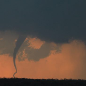
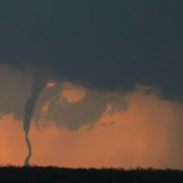
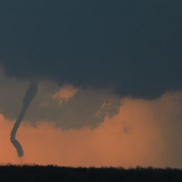
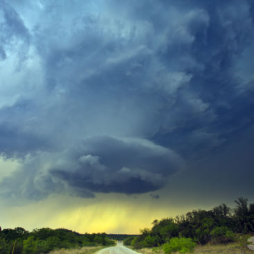
Setting up the tripods in record time, we begin watching supercell number two for tornado two, and within minutes, we got it. The ground was very dry which created for a lot of blowing dust.
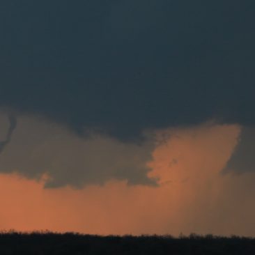
Thankfully, that happened along the rear flank of the storm and when combined with the light getting lower on the horizon, made for a beautiful reddish contrast backlighting the tornado for our photography.