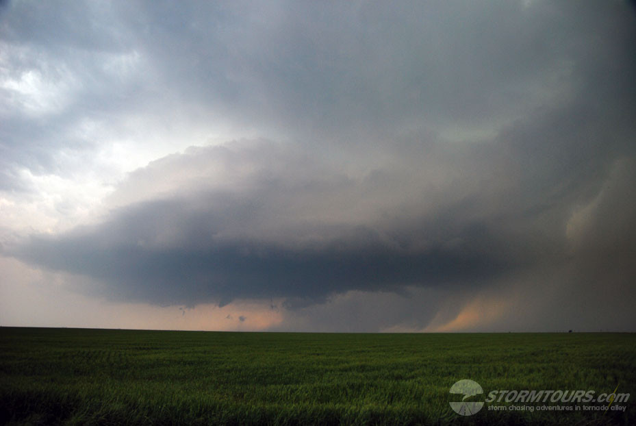
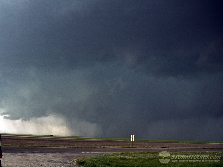
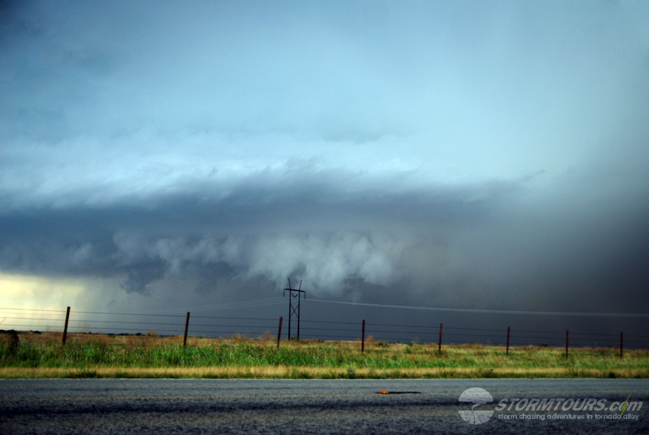
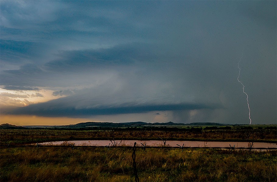
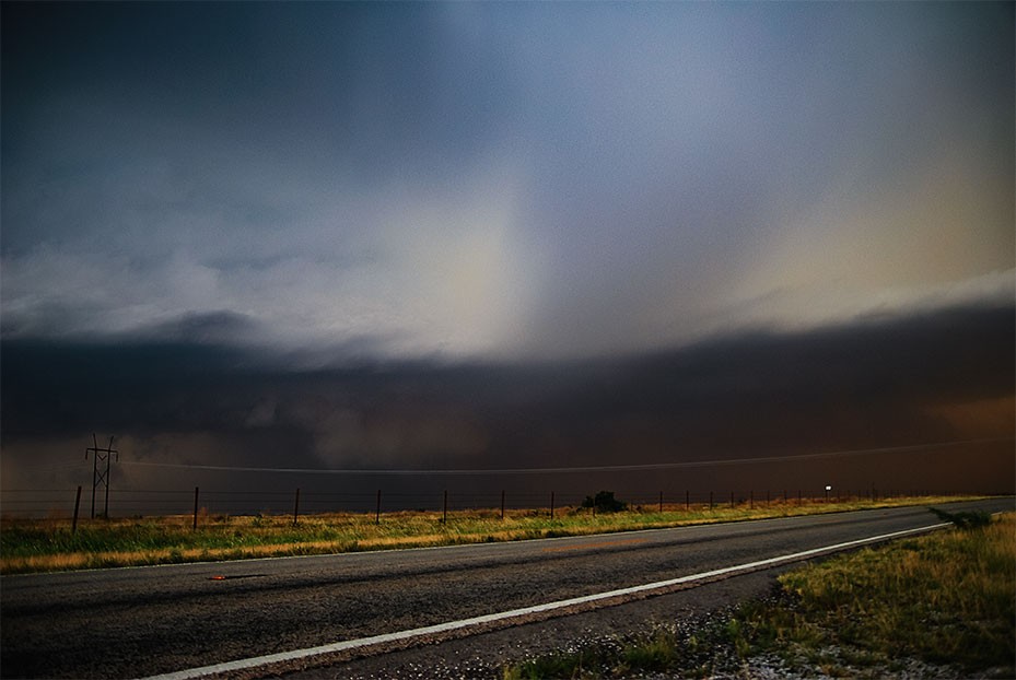
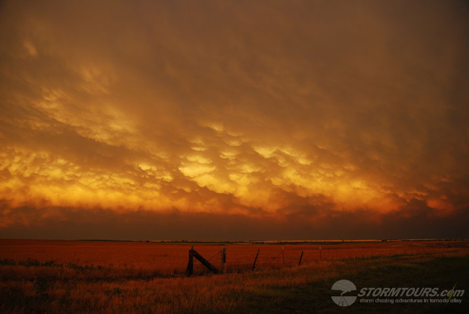
A surprise day in Southwest Oklahoma. We were not expecting much in terms of tornadic supercells, but we ended up with several intense storms. Our favorite was a stacked supercell near Hobart that possibly produced a brief tornado. Today had good moisture, instability and moderate shear that was somewhat weak at low-levels. A dryline provided the trigger that would fire the storms for the day. We intercepted three tornadoes warned storms in total, with one likely rain-wrapped tornado.
May 29, 2008: Kearney, Nebraska Tornadic Supercell
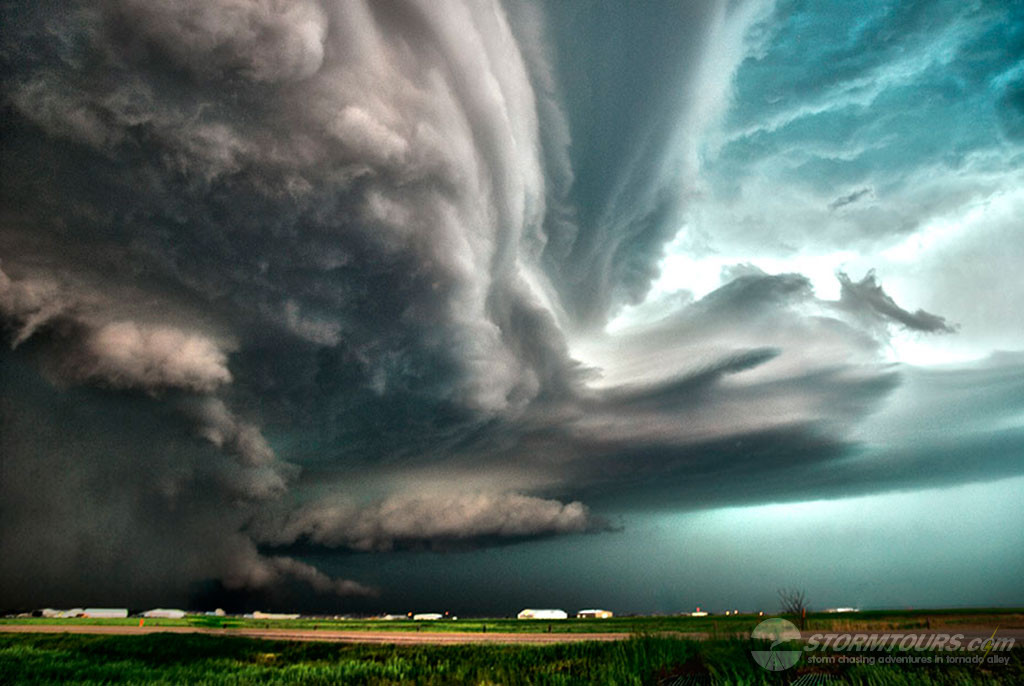
3000 J/KG CAPE along with strong low-level shear and 50 knot low level jet brought tornadic supercells into southern Nebraska today. A nice late May dryline setup that featured a surface low over NE Colorado and a dryline extending through western Kansas that was punching into south-central Nebraska provided an initial target area from McCook to Kearney. We intercepted a beautiful and intense supercell with a deepening wall cloud SW of Kearney and tracked it as it moved towards the city. It quickly produced a tornado and unfortunately, there was sufficient damage in town to several structures as a result of a direct tornado strike. The cell was extremely high precipitation, which made the tornado very difficult to see as it was occluded in rain.
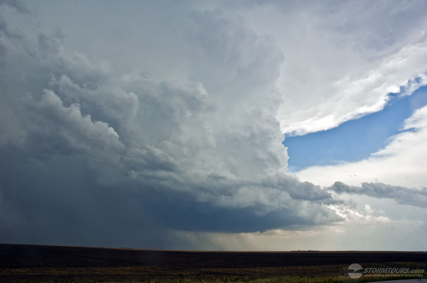
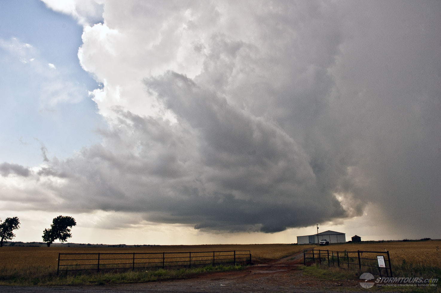
May 27, 2008: Western Oklahoma LP Supercell
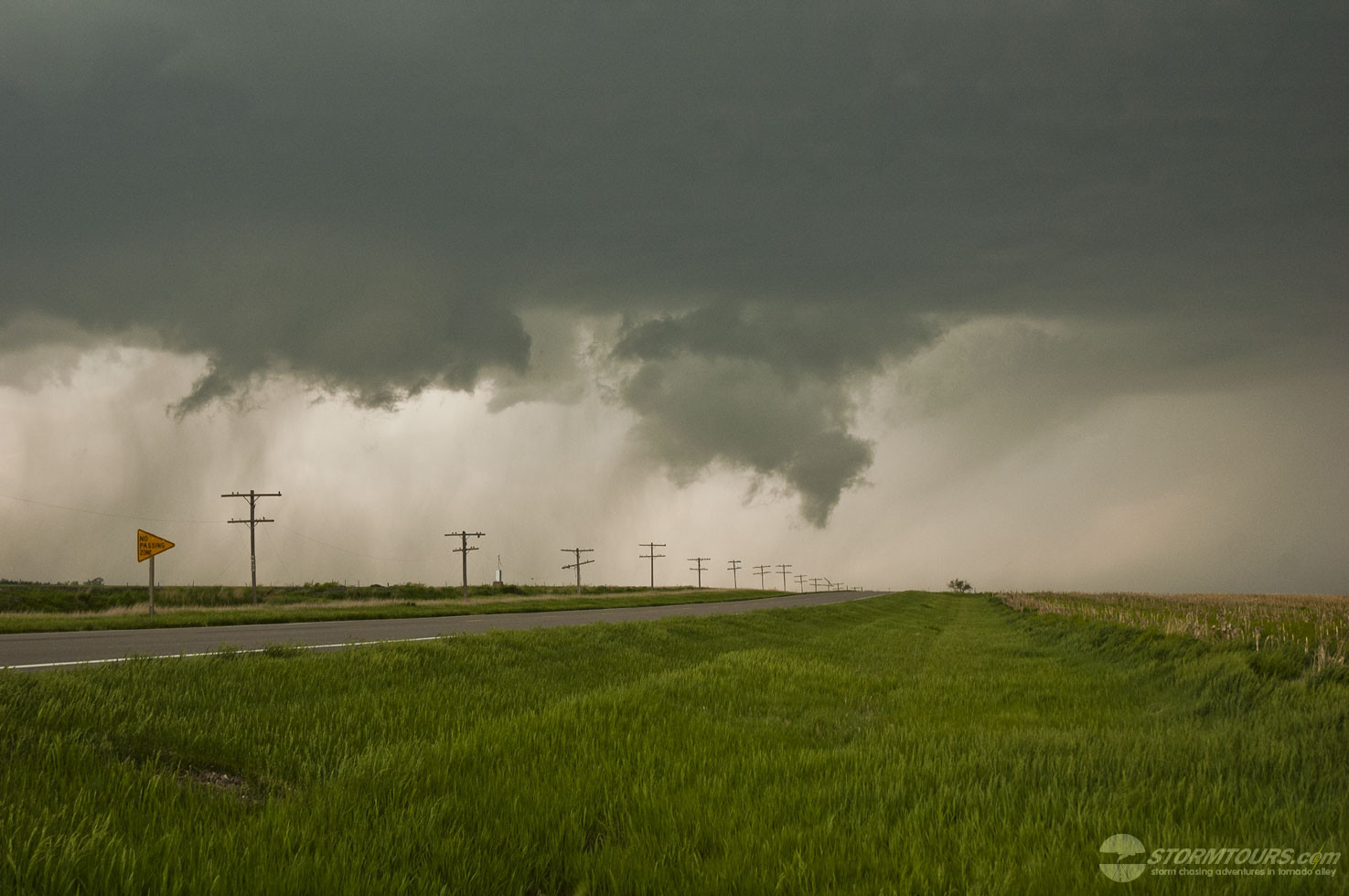
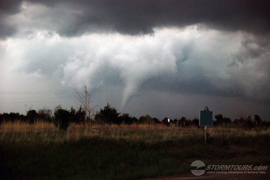
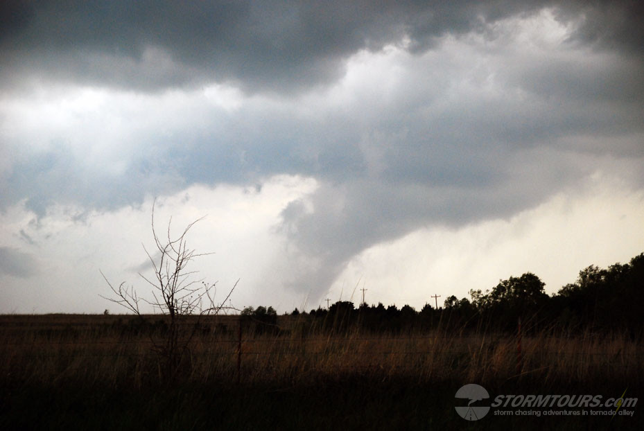
May 24, 2008: Central Oklahoma Tornadoes
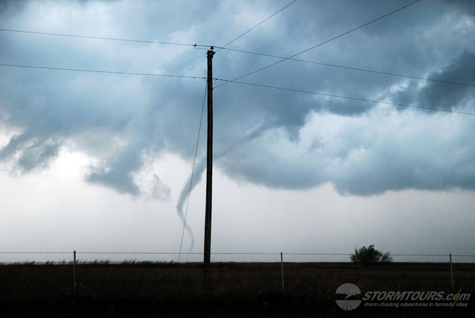
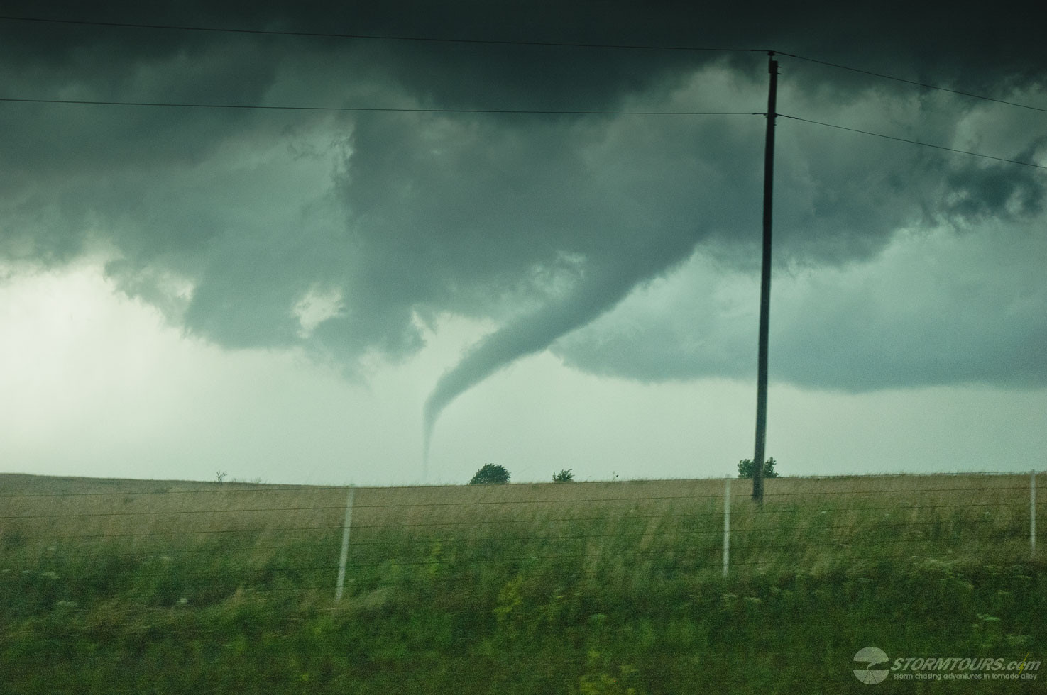
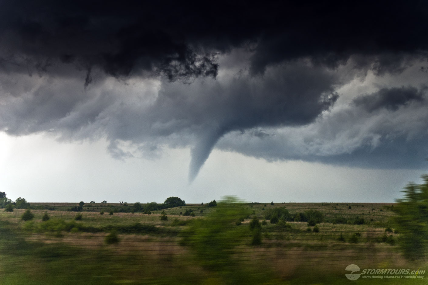
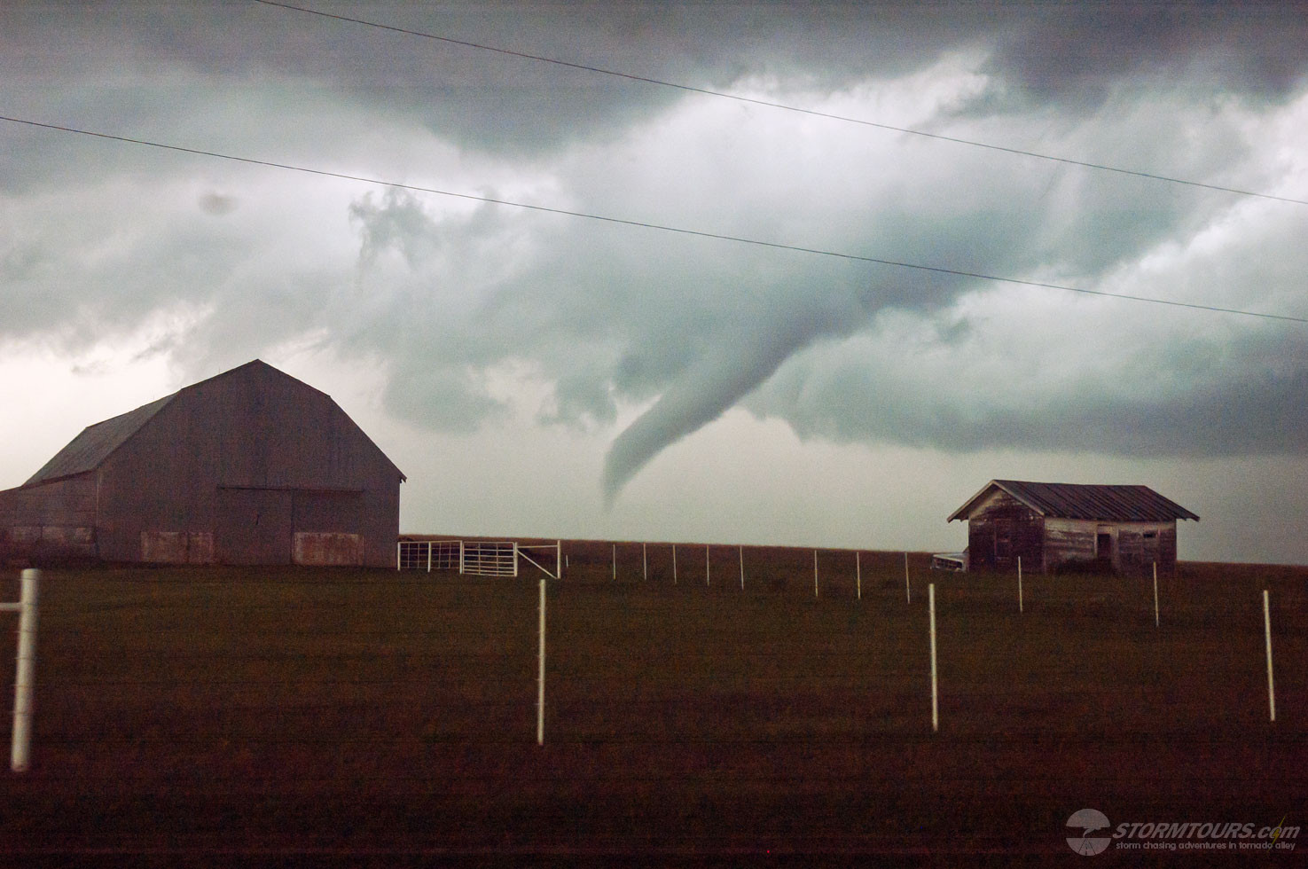
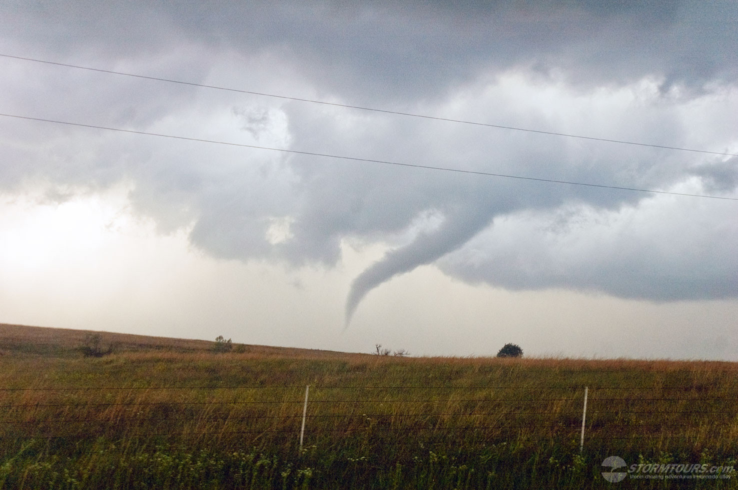
We started this day in Greensburg, KS and ended up just off Interstate 35 north of OKC in Orlando, OK. Today’s storm created multiple tornadoes, and one time there was a main circulation tornado with an anti-cyclonic satellite tornado circling around it.
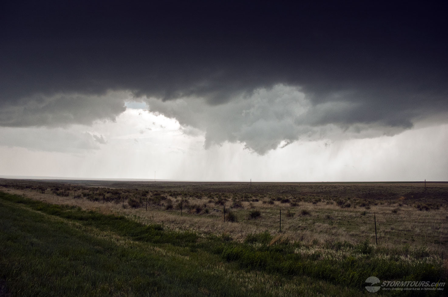
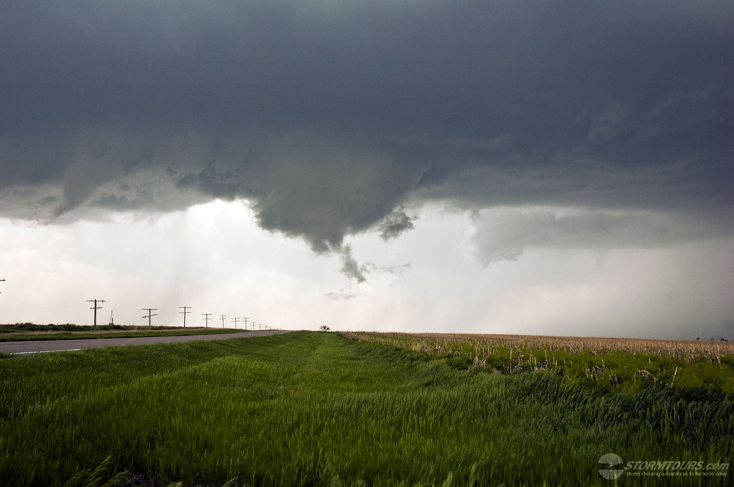
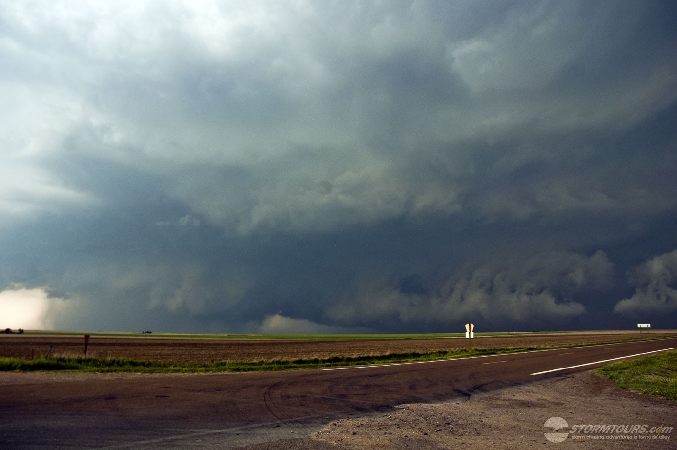
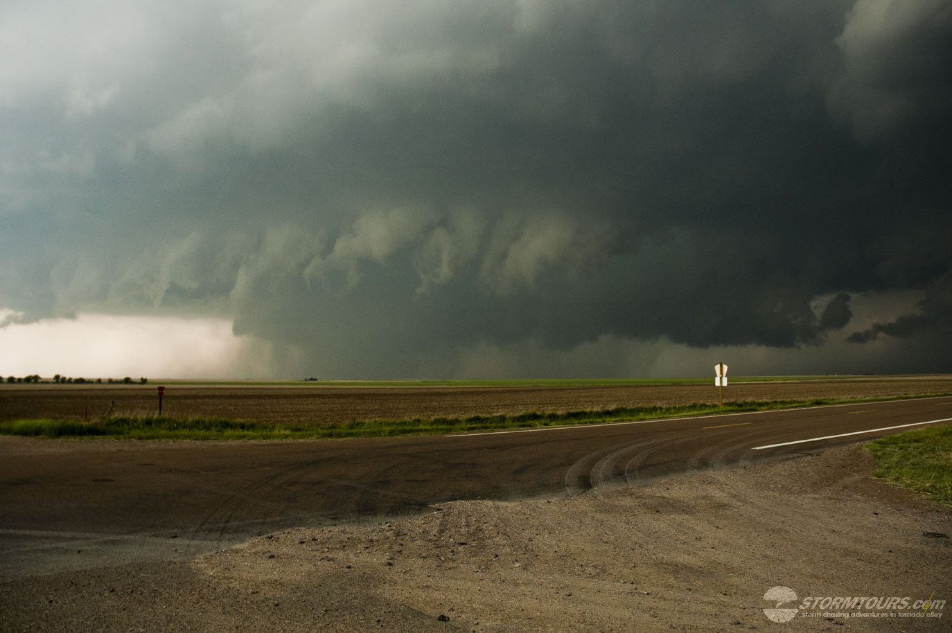
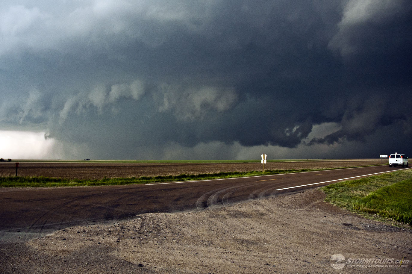
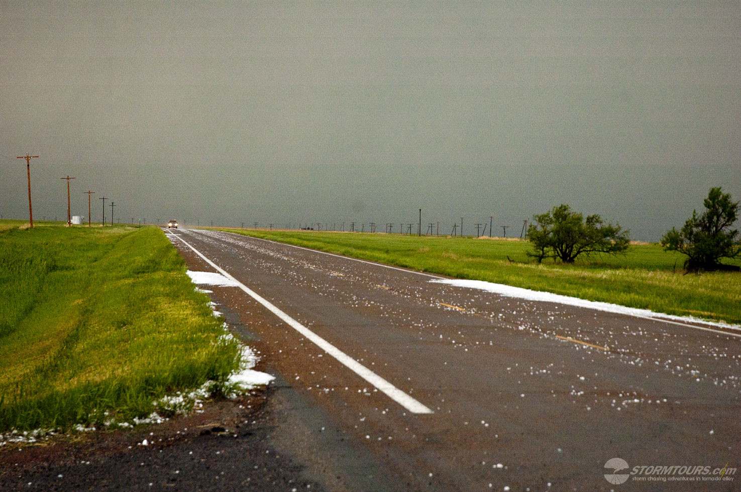
May 23, 2008: Central Kansas Tornadic Supercells
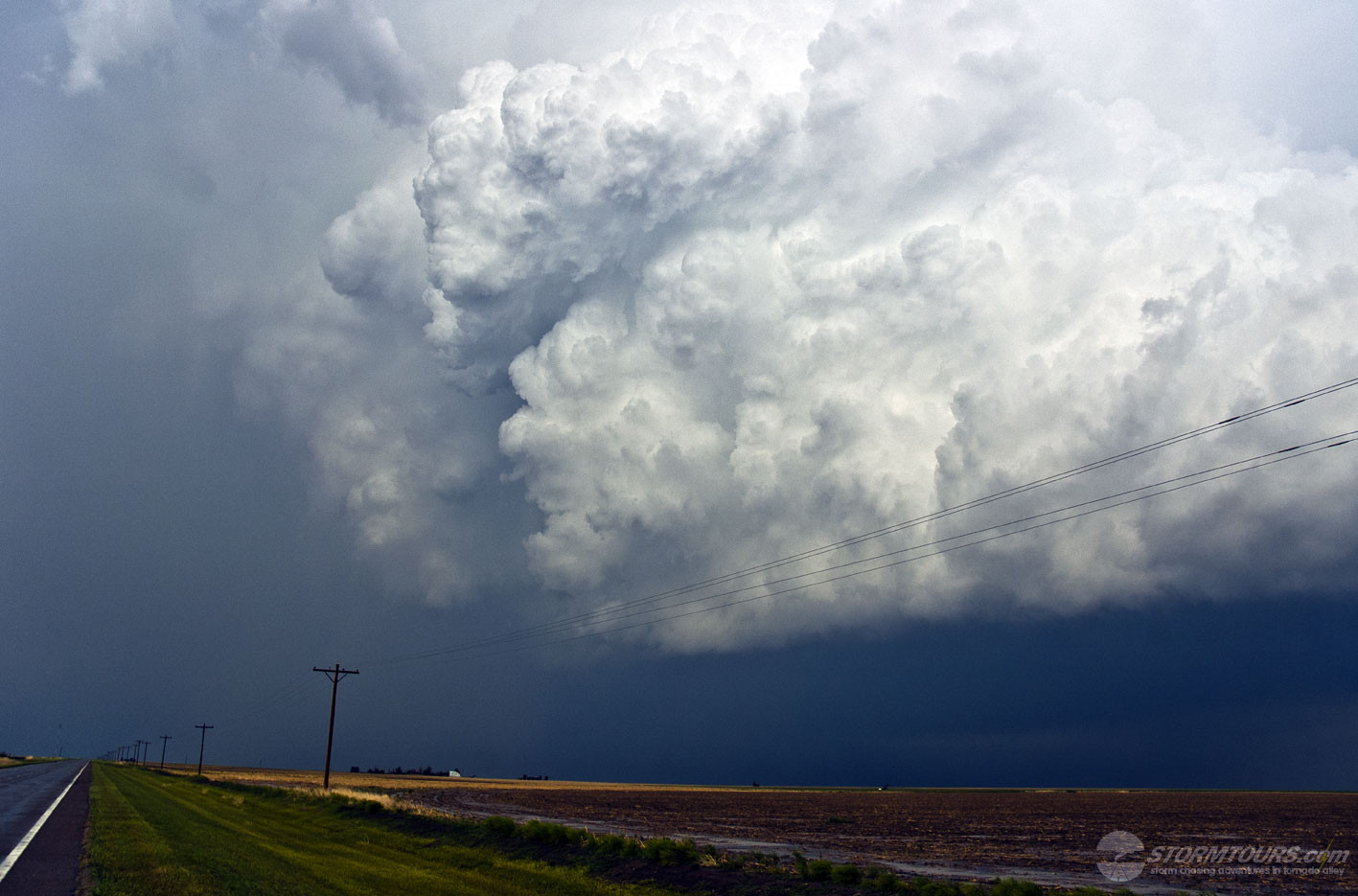
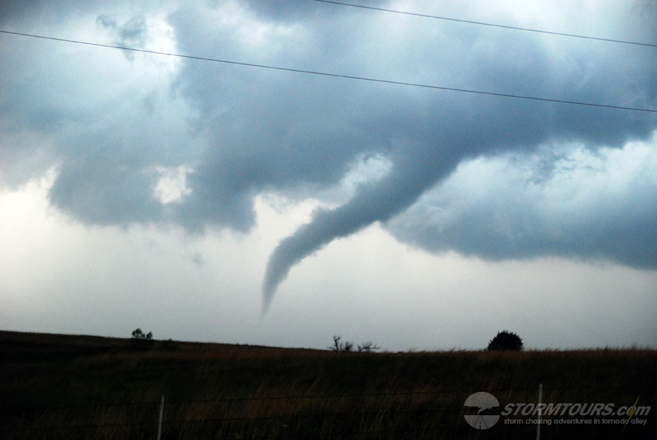
May 23rd was an intense day of storm chasing with two supercells that produced tornadoes. The largest tornado occurred near Quinter, Kansas and was rated as a monster EF4. This event was billed by the Storm Prediction Center as a monster outbreak day several days prior and due to that, state patrols had blocked nearly all the roads. As a result, we were forced to chase these storms usually mostly backroads which were wet and a lot of storm chasers became stuck. Thankfully, we didn’t get stuck, but we did have to do some wild “fishtailing” in a few spots. At one point, the wedge tornado chased us all the way to Interstate-70 at the Quinter exit. We were hoping for paved roads with “Old Highway” marked on our maps, but unfortunately, even the “Old Highway” was a dirt road that was very slippery. Blocking highways seems only to create a more dangerous situation for storm chasers and the public alike as people are forced to use lesser quality roads to escape the storm.