May 25, 2018: Supercells and Lightning Fire in Texas Panhandle

May 28 2018 Convective Outlook
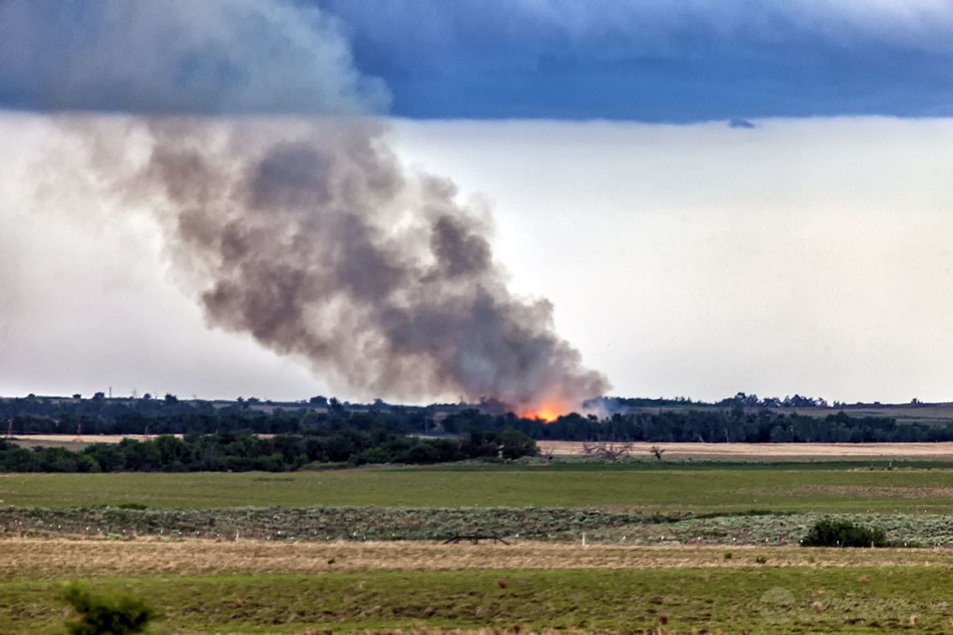
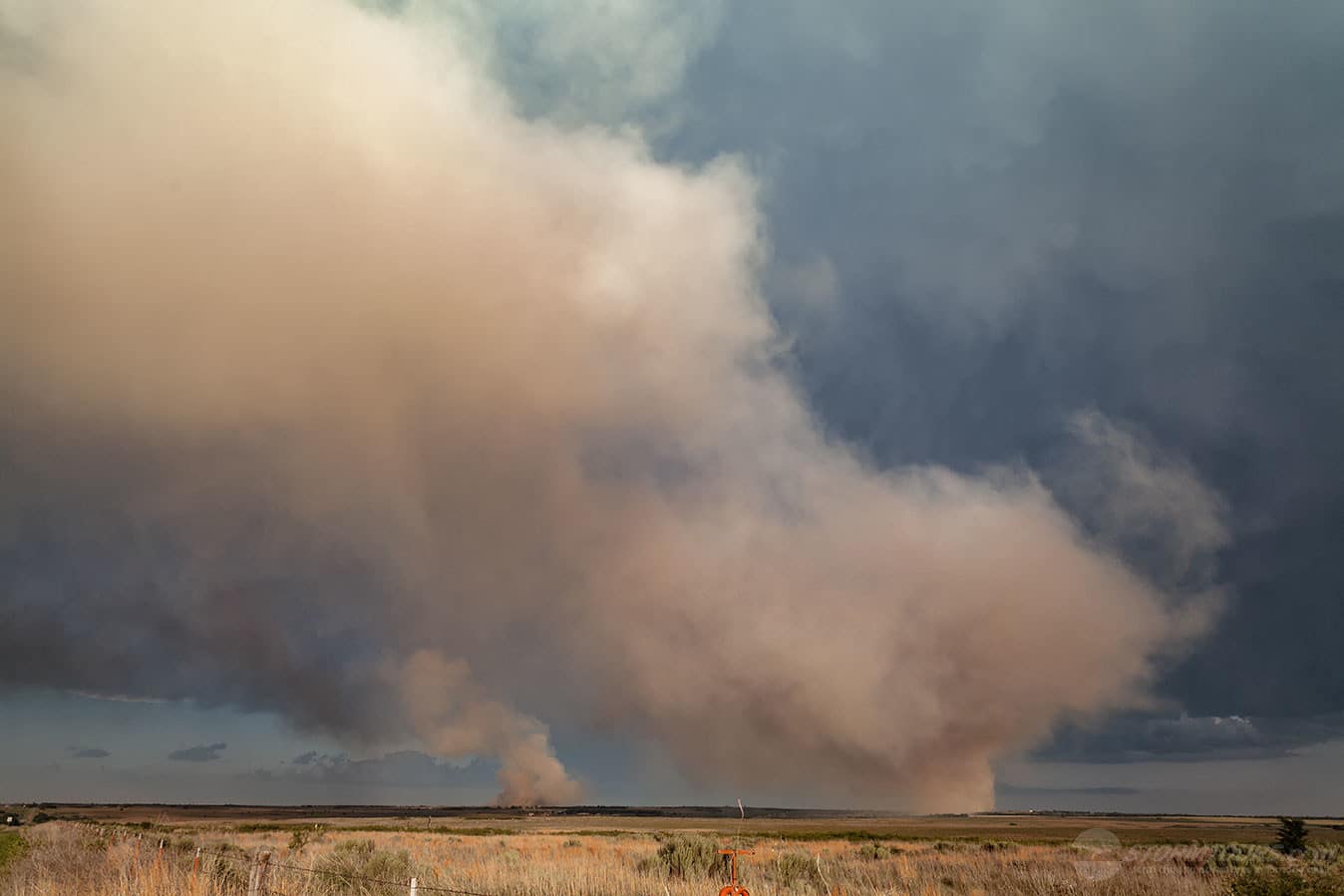
While not the type of supercells that we expect to see, Tour 2 witnessed a common and extremely dangerous result of lightning after a low-precipitation supercell started several wildland fires north of Allison, Texas.

Lightning is a major factor in wildland fires. On average, the number of acres burned per fire is higher with lightning fires than from fires caused by humans, according to statistics from the National Fire Protection Association.

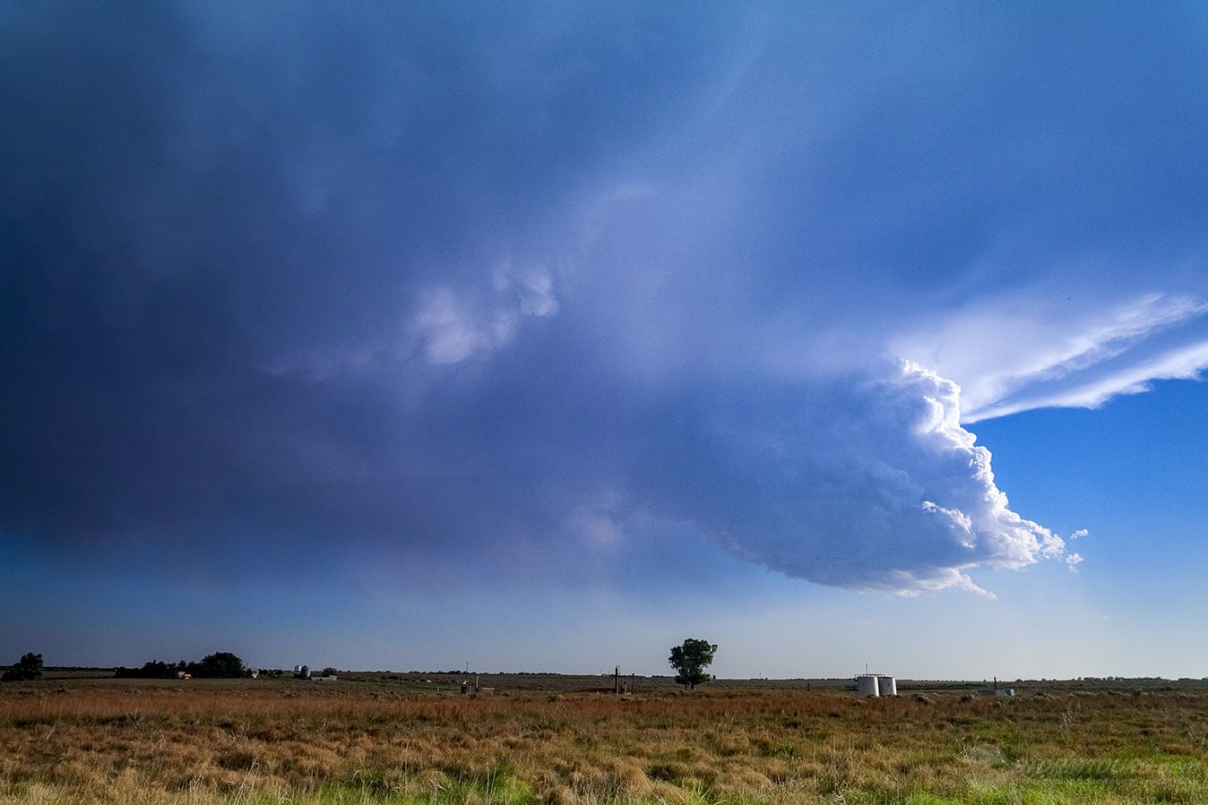
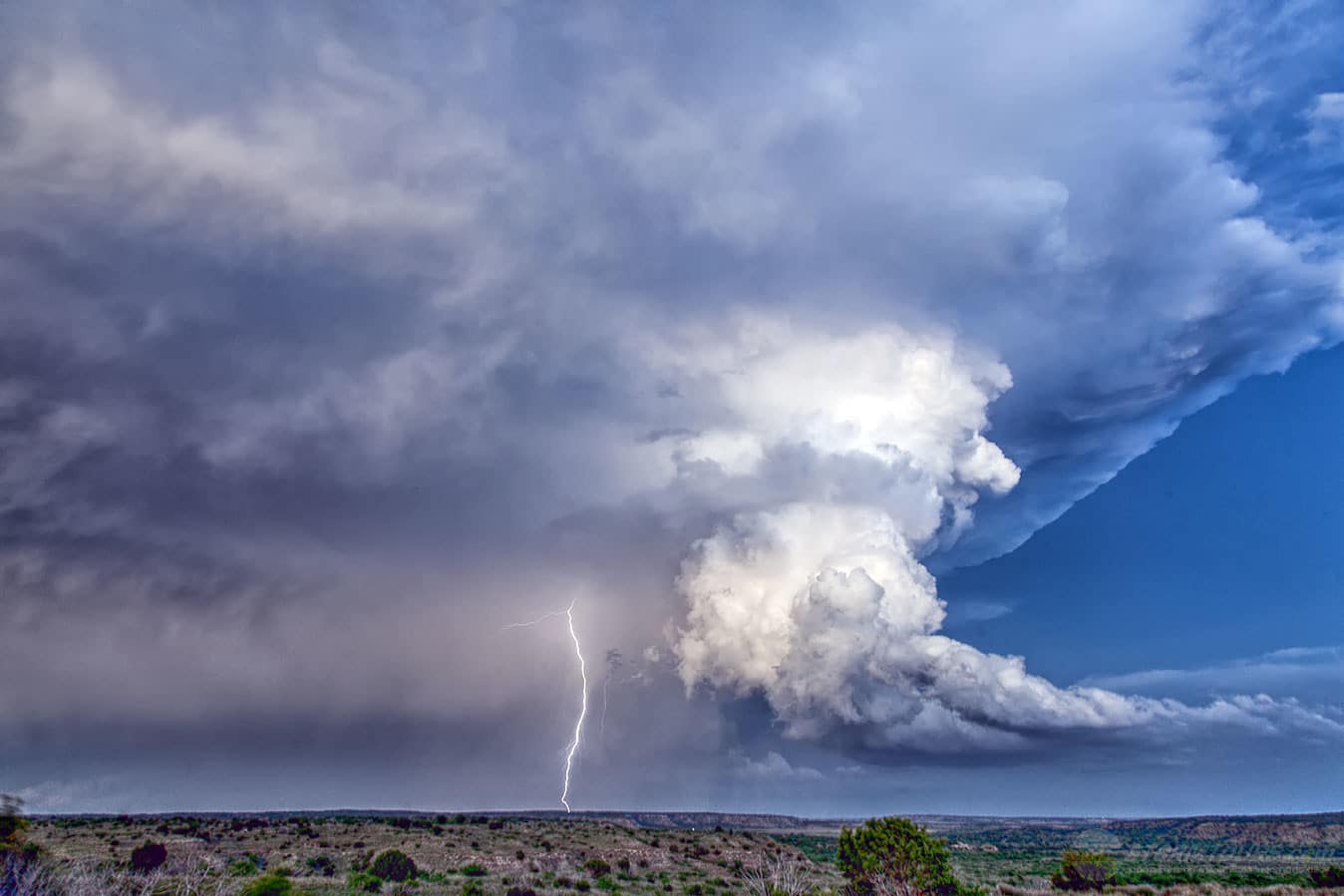
In addition to causing fires, lightning strikes are one of the biggest risks associated with thunderstorms, and this would also include storm chasing since we’re often with the range of a lightning strike. The general rule-of-thumb is: if you can hear thunder, you’re close enough to be struck by lightning.

Much of the Texas Panhandle has been rain deficient for several years now, so it doesn’t take much for a wildland fire to get started.

We stood in awe as lightning was hitting the ground around us and nearly every lightning strike was setting off a new fire to the point that local firefighting crews were getting overwhelmed while some fires flared up from a spark to engulfing small forested areas within mere seconds.

May 18, 2017: Tornado near Chester, Oklahoma

May 18 2017 Convective Outlook
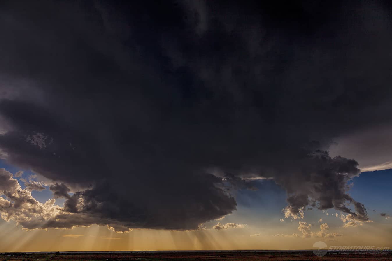
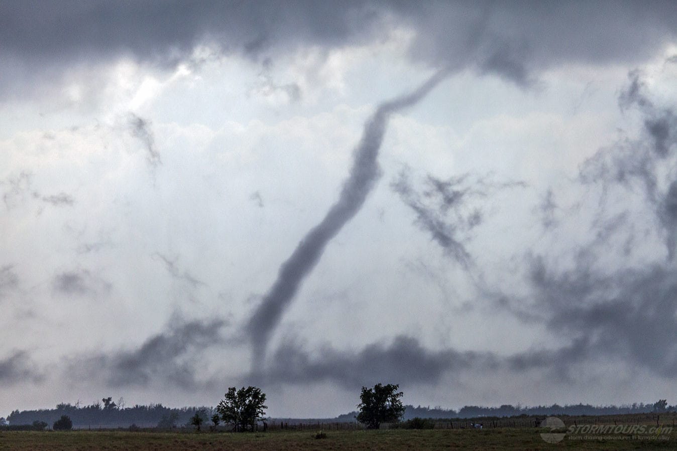
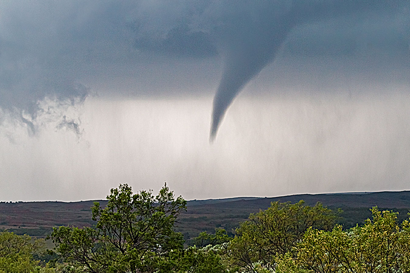
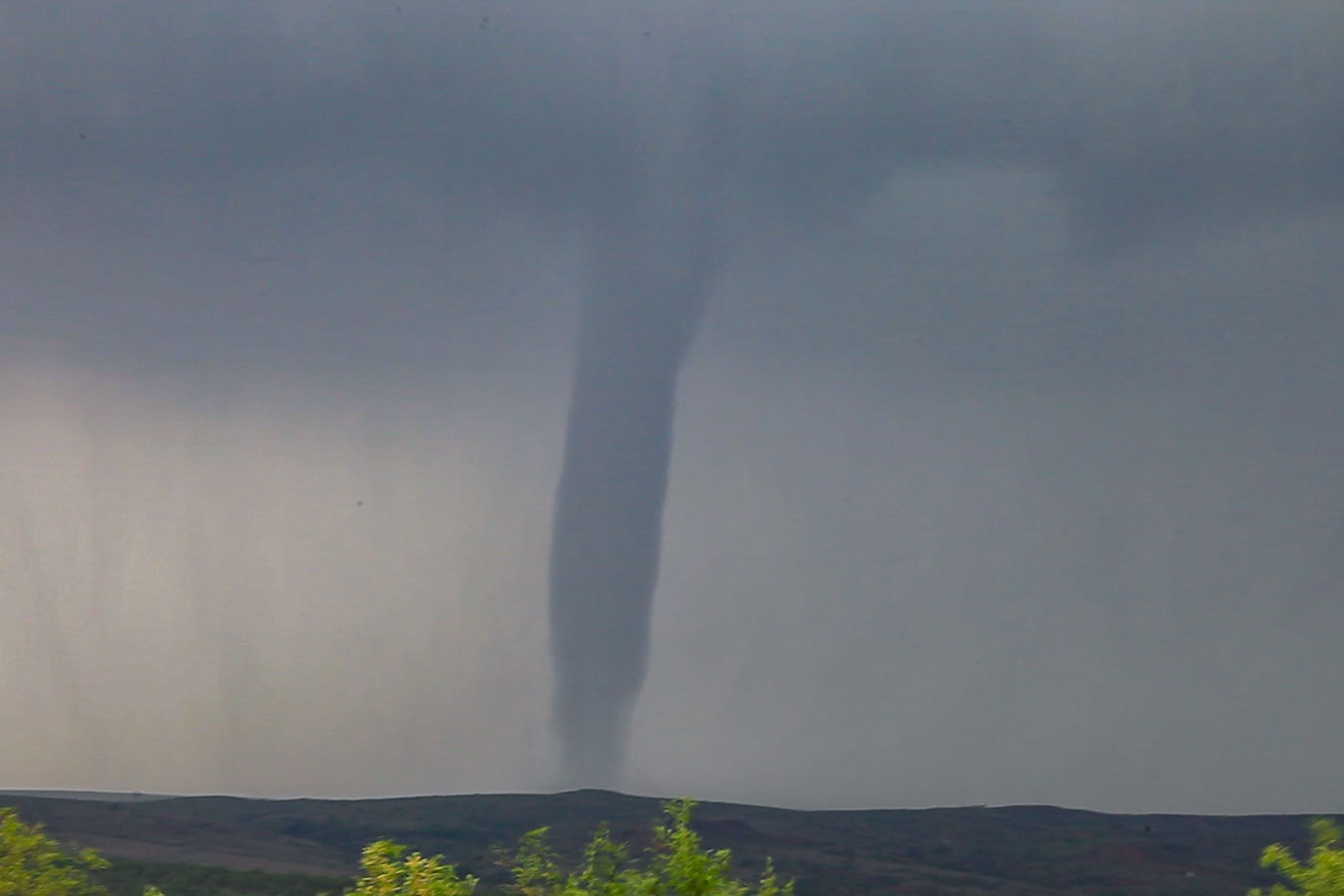
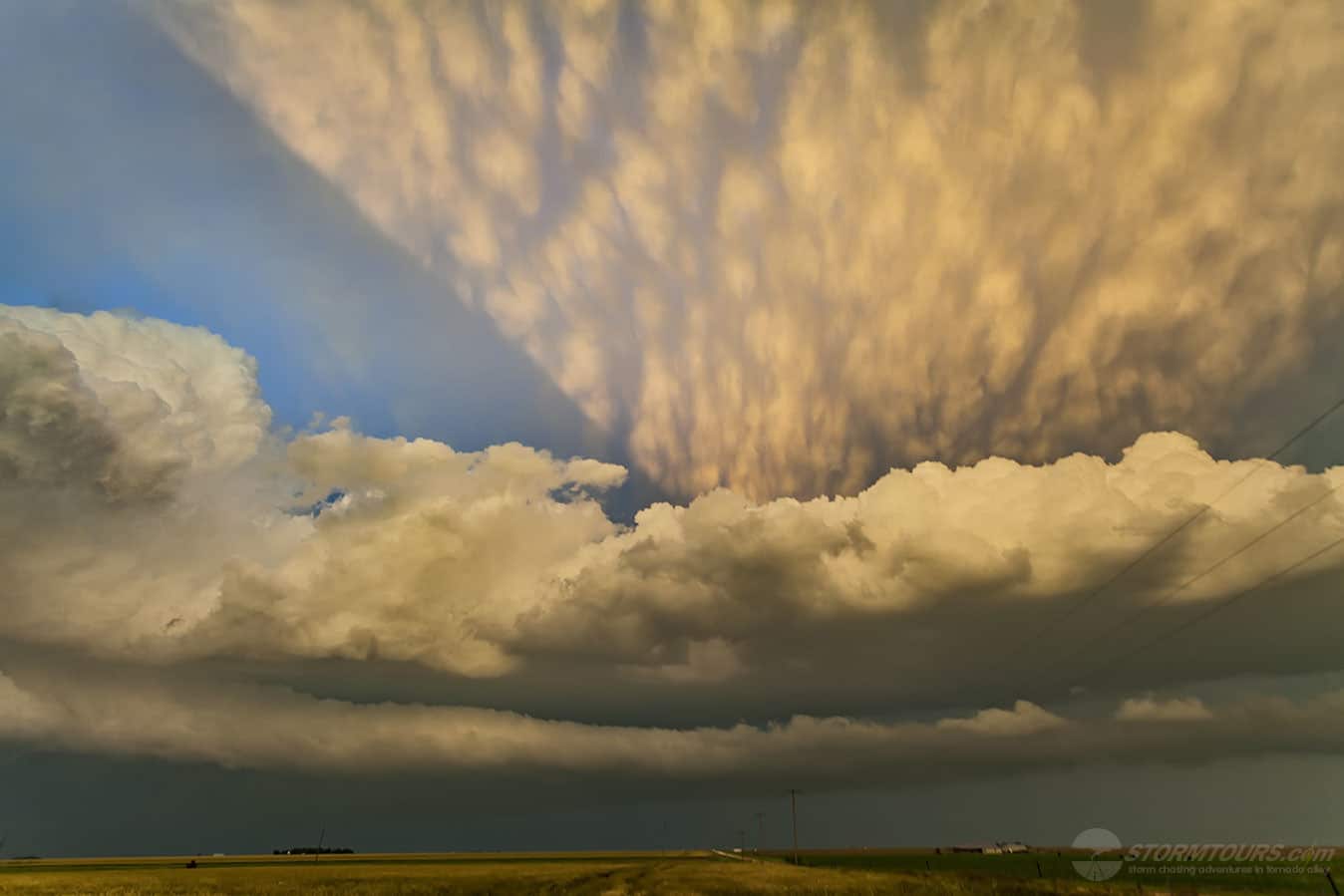
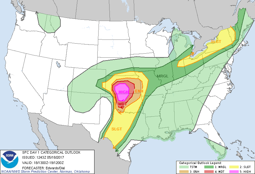
The day had incredible potential. Good shear, moisture and instability were all in place on a day that the Storm Prediction Center issued a High Risk for parts of Oklahoma and Kansas.

We started out from Oklahoma City and took our time getting to northwest Oklahoma. Our target area was generally between Seiling and Woodward, Oklahoma. But, we opted to stay east of the target area where we could monitor the day while having good road options.

As we were en route, we watched as the towering thunderstorms were growing along the dryline to our west. Canton, Oklahoma was our waiting area while we monitored visual satellite imagery.

Within an hour of arriving in Canton, the first Severe Thunderstorm Warning was issued. We had a pretty decent view of the storm and it looked ripe! We proceeded along Highway 51 towards Seiling, Oklahoma.

As we got closer to the storm, we had a better view of the storm’s base, we could see a definitive lower on the storm. Soon, a funnel emerged from the rotating wall cloud and we had our first tornado of the day. That storm created two tornadoes.

Neither of these tornadoes impacted structures or they would have likely produced major damage. The first tornado roped out as it approached Highway 281 about 8 miles north of Chester at 3:36 pm CDT.

A second tornado quickly developed and that one was on the ground for 20 minutes before lifting just southwest of Waynoka. Both tornadoes exhibited behavior that you would expect with strong (EF2+) tornadoes.

Fun and exciting chase day in Western Oklahoma that ended with a large tornado and an amazing sunset that illuminated the supercell near Chester in Woodward County. Not every High Risk day ends up deserving of such an accolade, today certainly did!

May 16, 2017: McLean, Texas Tornado

May 16 2017 Convective Outlook
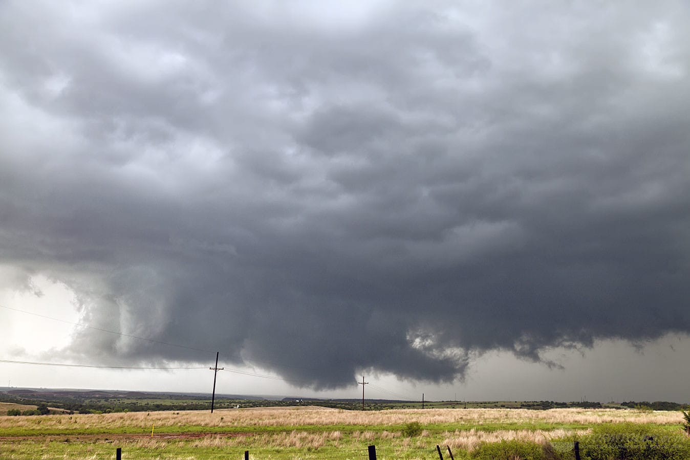
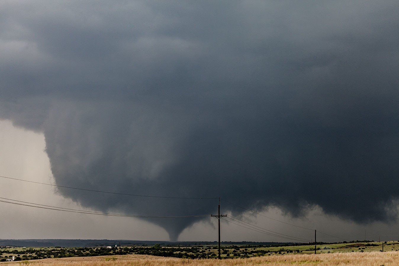
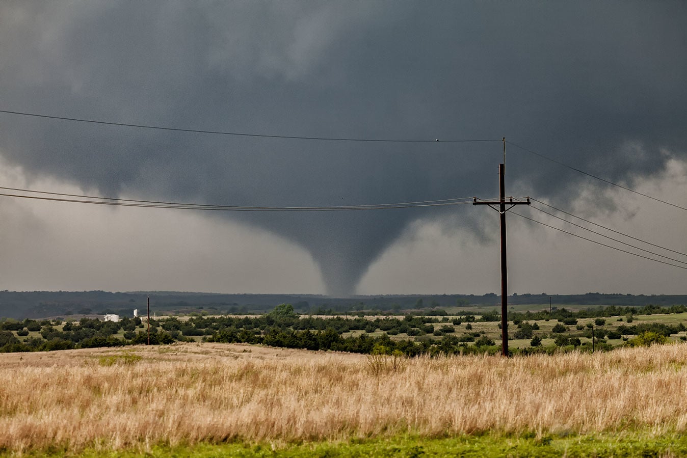
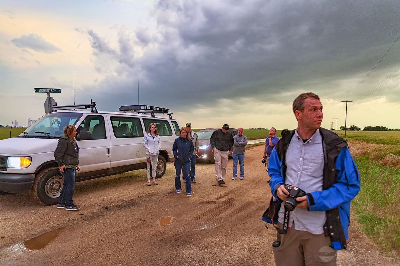
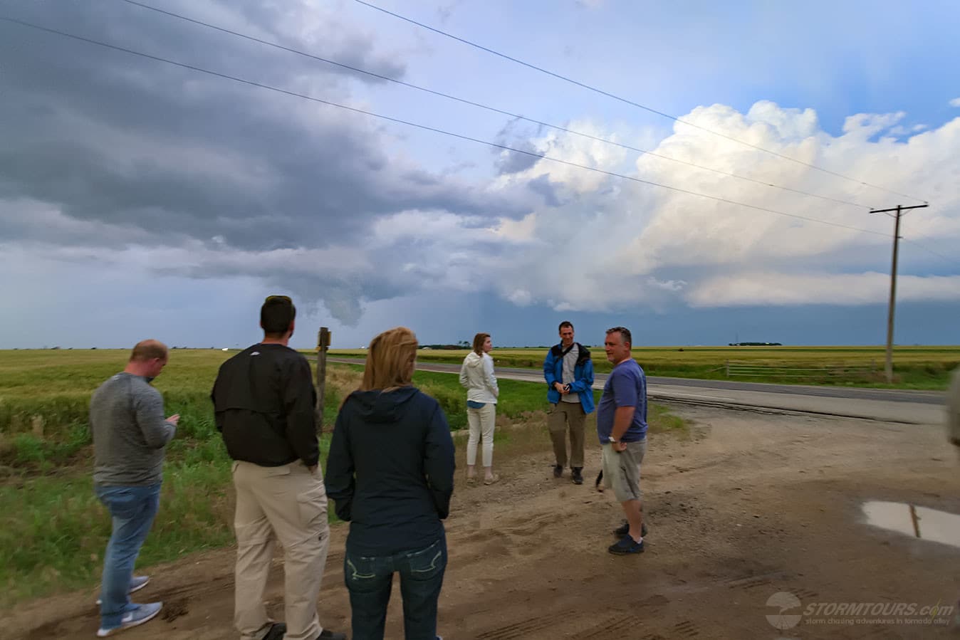
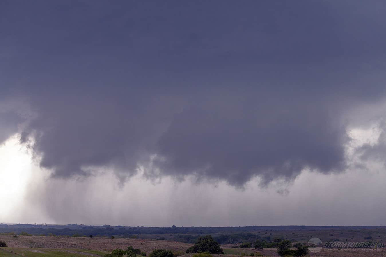
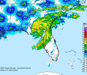
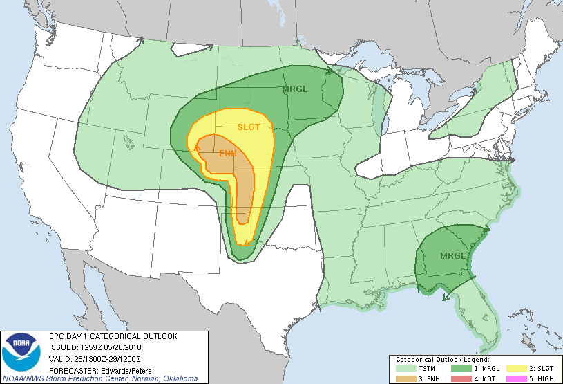
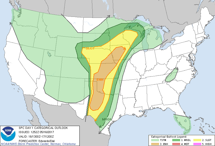
May 16th was a needle in a haystack kind of day. The Storm Prediction Center issued an Enhanced Risk of convective storms from Midland, Texas to extreme northern Iowa. A Slight Risk area covered eight states!

We decided to focus on the dryline in the Texas Panhandle where there was steady boundary of moisture under and advancing shortwave trough. It did not dissapoint!

By mid-afternoon, several supercells were starting to pop along the dryline. One storm in particular near McLean caught our attention. The area had everything we needed for a busy afternoon, shear, moisture, instability and lift. The stage for an exciting chase in the Texas Panhandle was set!

We got our first tornado from a wall cloud with extremely fast erratic motion. The tornado was primarily over open country, where we like to see them. We witnessed the tornado from birth to death and it had a wild rope out stage, which happened very close to our location providing the tour group with some amazing photos!

The storm structure was fantastic and also included some very large hail of at least baseball size.

September 02, 2016: Hurricane Hermine

Hurricane Hermine Radar
Hermine Radar about 30 minutes after landfall in Florida

Hurricane Hermine was the first hurricane to make landfall in Florida since Hurricane Wilma in 2005, and the first to develop in the Gulf of Mexico since Hurricane Ingrid in 2013.

The ninth tropical depression, eighth named storm, and fourth hurricane of the 2016 Atlantic hurricane season, Hermine developed from a long-tracked tropical wave that had produced torrential rainfall in parts of the Caribbean.

After being designated on August 29, Hermine shifted northeastwards due to a trough over Georgia and steadily intensified into a Category 1 hurricane just before making landfall in the Florida Panhandle during September 2.

We initially set up in Crystal River, along with dozens of satellite newsgathering trucks from various networks. However, it was expected that Hermine’s eye was going to make landfall in the corner of Florida’s Panhandle.

Our goal was to intercept and document Hermine’s western half, where the winds and storm surge were forecast to be the greatest.

As the hurricane neared landfall, we moved north along Highway 19 to the north of Chiefland, FL. The attached video shows the intense rain and zero visibility conditions along Highway 19 running along the Gulf Coast.

We would like to also note that we do not offer tours for hurricanes. To do so is far more complicated and would require any tour customer to be with us up to a week prior to landfall.

When we intercept hurricanes, we often leave several days before expected landfall to make sure that we don’t have to fight or impede evacuations and traffic.

Hurricane chasing also requires us to stay extremely mobile, there are no hotels (hurricane chasers often have to sleep in their vehicles with all their equipment, supplies, and extra fuel as local stores quickly sell out of everything including gasoline).

We’re very sorry, but we just cannot offer hurricane interception tours — but we hope that you’re with us to see the next tornado in Tornado Alley!

June 07, 2016: Pikes Peak Tornado Warned Hail Storm

Usually, while conducting a storm chasing tour, we normally stay in the plains, but there are occasions when we break from tradition.

During the first week of June, a high-pressure ridge had set up over the plains which shut down the possibilities of storms there. But, in situations such as this, you can usually depend on the mountains to provide some lift which will create rotating thunderstorms capable of producing lots of hail and even a few tornadoes from time to time.

In fact, El Paso County Colorado has more hail storms per year than any other county in America! So, we took a day trip up to the summit of Pikes Peak and watched the clouds begin to build. Once we were so cold we could no longer stand to be there, we traveled back down and jumped into the middle of the hail storm as if moved off the mountain.

This is one of the many ways that our team always gets our customers great storms, even when the weather pattern shuts down the action in Tornado Alley!

1 2 3 4 5 15